JGI offers a variety of unique technology packages to create high-resolution subsurface models for a myriad of applications, from resource exploration to carbon storage projects.
We are all used to having detailed maps of the land around us at our fingertips, but what lies beneath the surface of the earth and oceans is often unknown. One of the companies offering subsurface modeling is Japan’s JGI Inc.
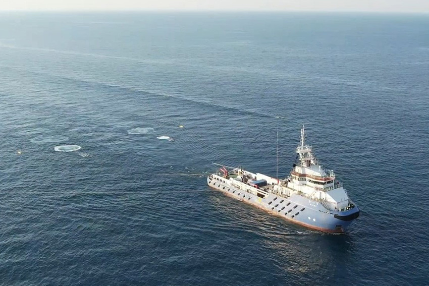
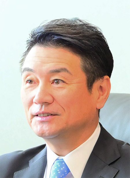
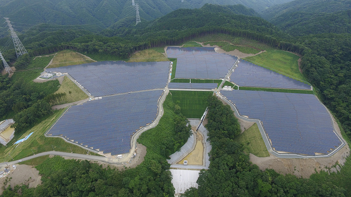
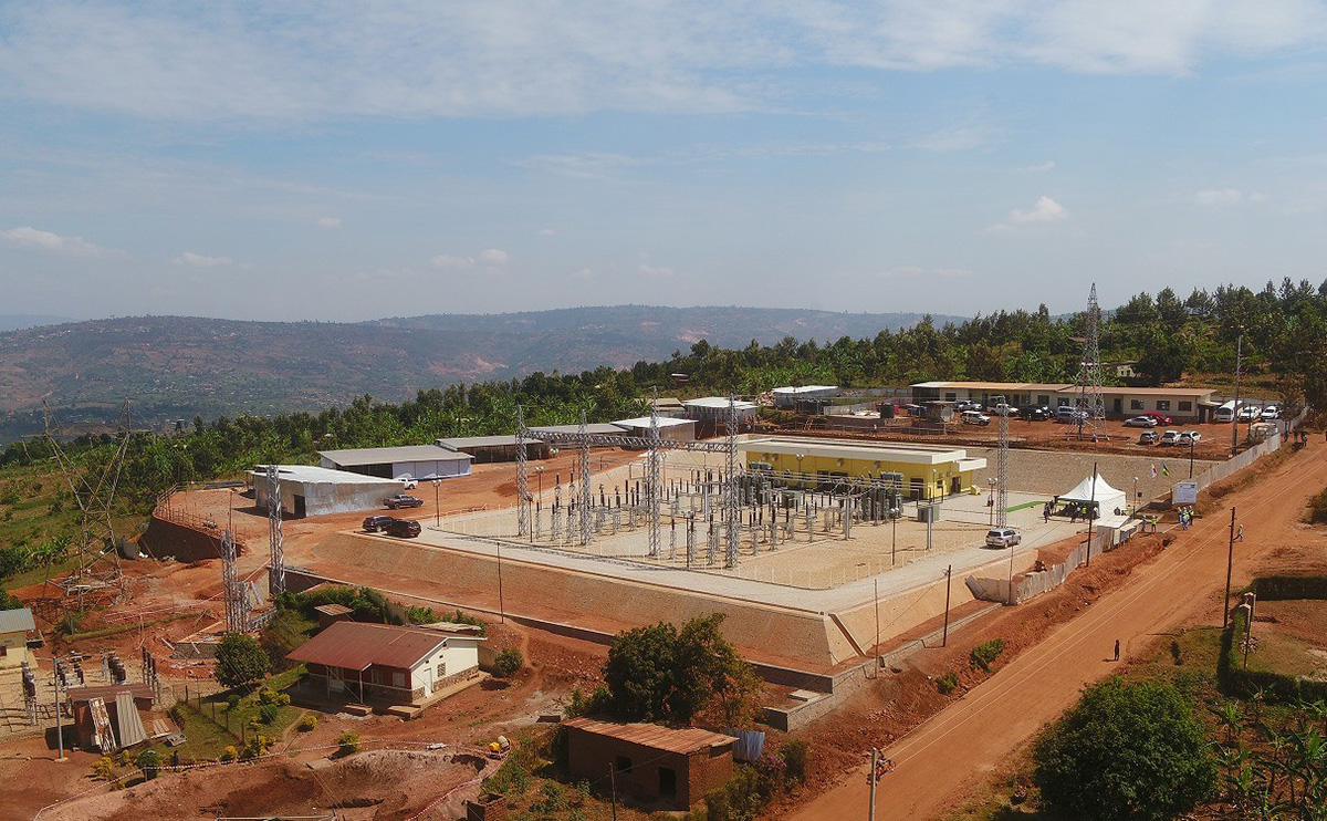
Founded in 1983, the company specializes in 3D visualization technology packages for a wide range of applications, including oil and gas exploration, disaster prevention, submarine hydrothermal deposits exploration, geothermal resource development, civil engineering, and CCS-CCUS (Carbon Capture, Utilization and Storage). As company president Susumu Abe says: “We have a variety of exploration technology packages that provide vertical and horizontal subsurface resolutions depending on the target, enabling seamless data acquisition from land to sea, especially in shallow water areas.” JGI is also developing exploration techniques related to CCS, a key technology in mitigating global warming. Mr. Abe explains that JGI’s focus is on delineating subsurface structures for CCUS, monitoring changes in CO2 plume behavior, and subsurface risk management required for CCS-CCUS projects.
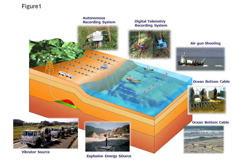
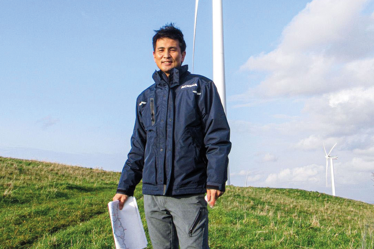
JGI is currently working with multiscale 3D exploration technologies to address engineering and seabed risk assessment in seabed geotechnical investigation for offshore wind farms and CCS site evaluation. In addition, JGI is pursuing the construction of an advanced monitoring system, using complex fiber optic sensing and massive signal processing with AI.
Mr. Abe reveals exciting plans to leverage the company’s technology to expand into the medical and space development fields, adding further examples to JGI’s company motto of “Visualization of All Targets.”


0 COMMENTS